 monochrome multiple_girls patchouli_knowledge photo_(object) photo_album remilia_scarlet smile tamuhi touhou translated rating:s score:2")
Artist's commentary
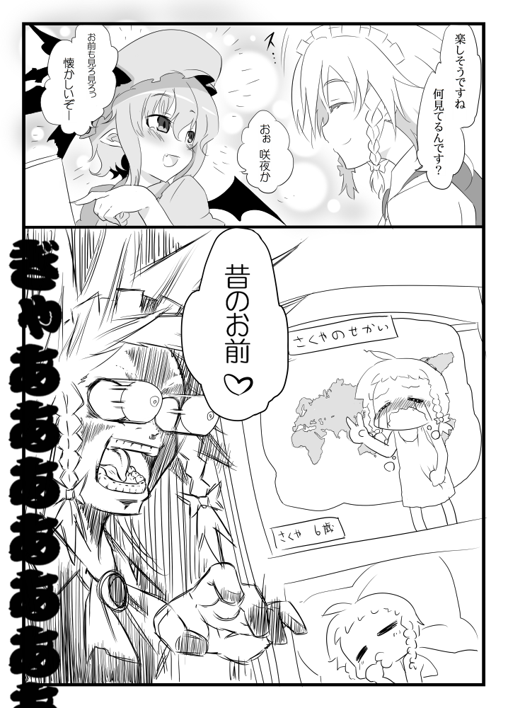
突発東方漫画「咲夜の扱い 一夜目」
前から考えていた紅魔館組の咲夜さん主人公ストーリー。
完璧で瀟洒な振る舞い、冷静で美的な雰囲気の十六夜咲夜。
周りの人間から見れば魅力的な大人の女性な彼女も、紅魔館のメンバーから見れば
可愛い可愛い人間の女の子。
そんな咲夜と紅魔館メンバーの出来事を2P漫画でお届けっ!
前から考えていた紅魔館組の咲夜さん主人公ストーリー。
完璧で瀟洒な振る舞い、冷静で美的な雰囲気の十六夜咲夜。
周りの人間から見れば魅力的な大人の女性な彼女も、紅魔館のメンバーから見れば
可愛い可愛い人間の女の子。
そんな咲夜と紅魔館メンバーの出来事を2P漫画でお届けっ!